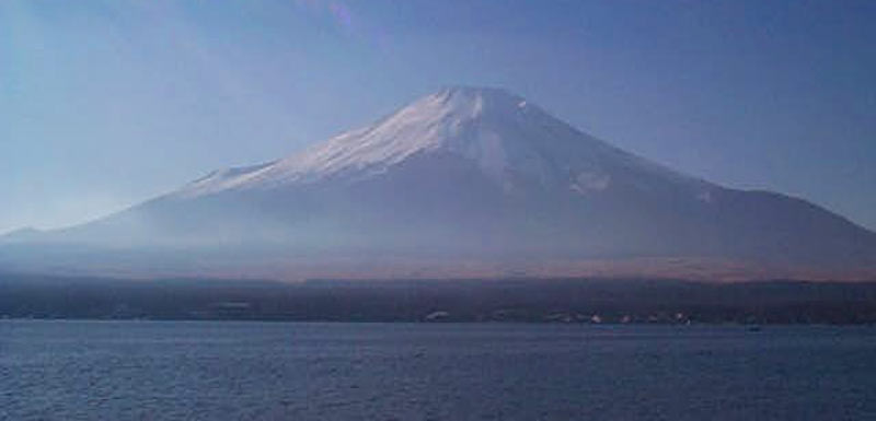
Ibaraki-ken Tsukubasan 筑波山 877m No. 12


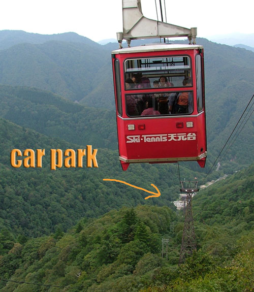
Set off for Tsukubasan at 3:30am to avoid the traffic from the obon holidays. It was also Jet's first mountain. Took about 4 hours to get down here from Fukushima. Tsukubasan is the smallest of the Hyakumeizan standing at only 877m. There is also a huge cable car taking lazy people most of the way to the top. This mountain did however have the most interesting start I've seen for a mountain so far.
 Haruna & Jet at the start of the climb
 Haruna & Jet at the start of the climb
As you can see in the pic, the climb starts from several huge tori gates and a few temples. At the top of the next set of stairs was some old lady doing some demonstration with a katana. Didn't stop too long to see what she was up to however. The climb starts out gradually climbing up a nice path over lots of tree roots. I was happy to see quite a few other climbers not opting for the nasty big cable cars running up and down the mountain.
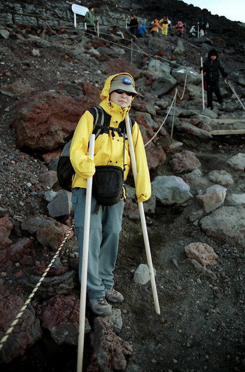
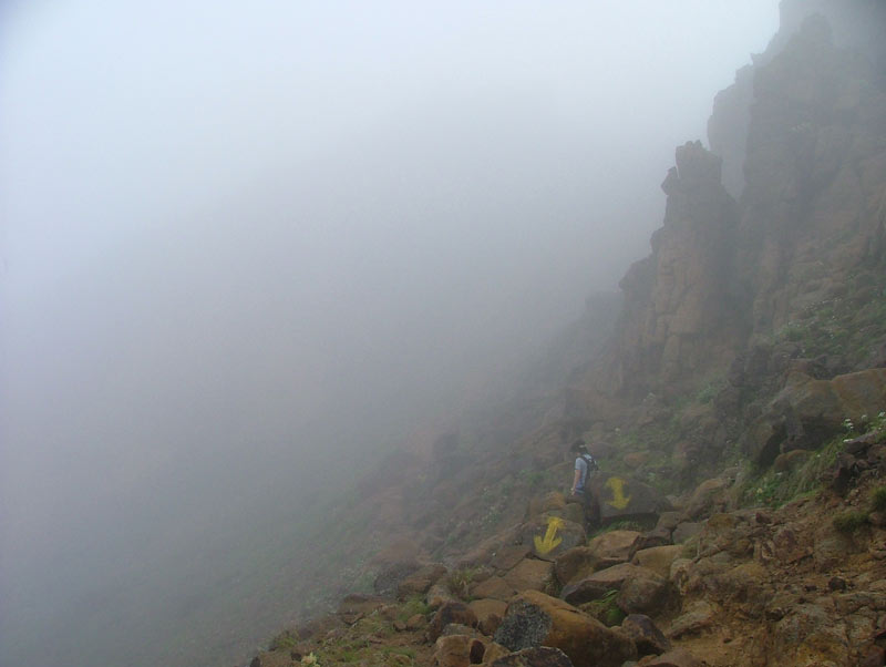
 giving a big F#$k you! too the cable car
 giving a big F#$k you! too the cable car
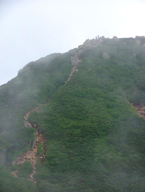
The path continually got steeper and steeper. Haruna and I were taking terns carrying Jet on our backs in a baby backpack harness kinda thing. Some parts of the climb were pretty steep and a slip could be pretty dangerous, especially with Jet on our backs.
 Sweating like crazy climbin these stupid steps with Jet on my back

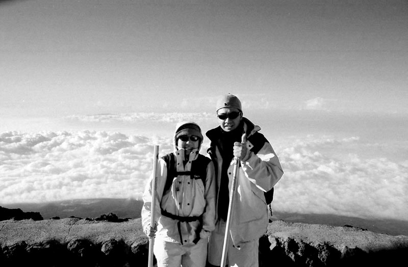
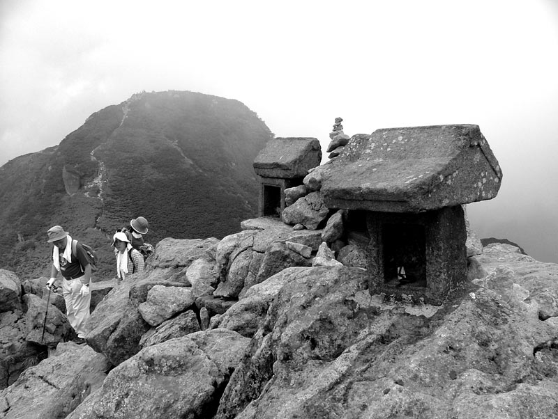
Jet takin a break at the plateau with a bunch of shit in the background.
The summit is the high point at far back right.


 Sweating like crazy climbin these stupid steps with Jet on my back
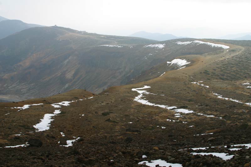
So after a few hours we arrived at a plateau where the cable car dropped off tons of visitors. The site was a sad one. After a few hours of nice hiking through the bush only to arrive at what looked like back in town. There were restaurants radio towers and souvenir shops everywhere selling all kinds of crap. Wheres the Macca's & KFC I thought to myself. I wondered why people go on about protecting the environment and shit then go and put all this stuff up here.

Jet takin a break at the plateau with a bunch of shit in the background.
The summit is the high point at far back right.
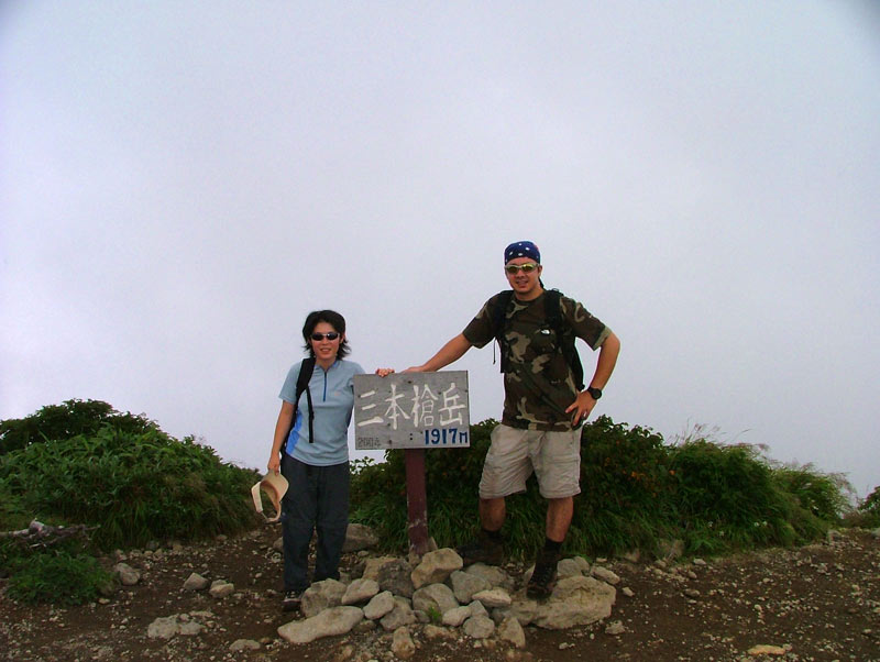
From here it was just a few minuets walk further up to the actual summit. As I expected it was overly crowded with people. So after a quick survey of the surroundings and the summit pole photo we headed back down to have some lunch before making a slippery decent back down the mountain.
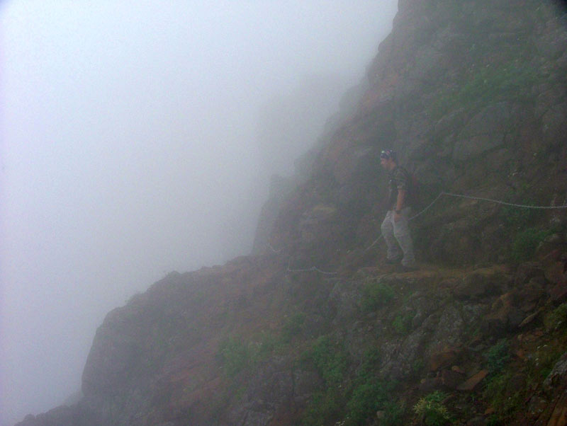
The decent although less exhausting was harder going down because of hundreds of tiny steps lined with logs that were very slippery when wet and became very annoying.
There were also some pretty steep rocky parts which were wearing my knees out so had to be extra carfull with Jet on my back. Got back to the car in a couple of hours and went soaked up the hot water at a nice hot spring at a local ryokan before driving back up to Fukushima.


Labels: 100, hyakumeizan, japan, mountains, tsukuba, 百名山, 筑波山
posted by Pete. A.K.A Shenanigans in Japan at 9:45 PM
![]()


.jpg)